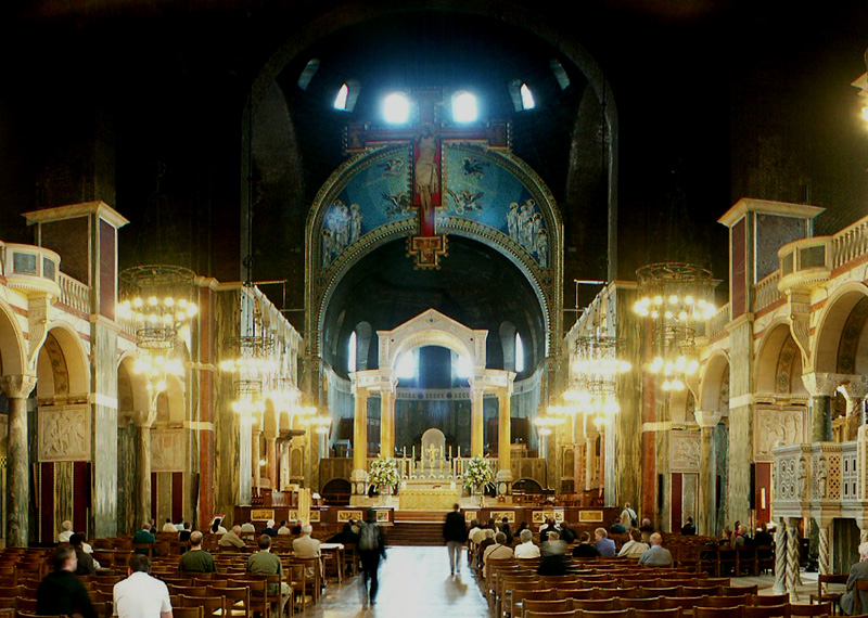
This photo from inside Westminster Cathedral in London is part of one of the panoramic images found on the PanoramicEarth.com Tour of London. There are over 100 images taken from around London linked to an interactive map.
Plan your visit to London by taking advantage of these London Hotel Specials or Thomson City Breaks.
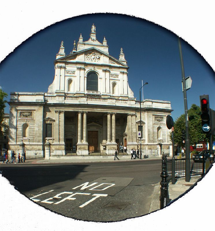
Westminster Cathedral is tucked away in a piazza of Victoria Street, about half way between Victoria Station and Parliament Square. Previously the site was occupied by the Tothill Fields Prison (formerly called Middlesex (Westminster) House of Correction), a prison for boys. This was brought in 1884 by Cardinal Manning and on it now stands the current Cethedral. The foundation stone was laid in 1895 and the bulk of the building was completed by 1903.
It is quite an extraordinary building in London, with the tall tower, domes and balconies all built in the Byzantine style of the Easter Roman churches rather than the Gothic styles Europe was familiar with (or the Baroque style of the Brompton Oratory in Knightsbridge). However, the uniqueness of Westminster Cathedral does not stop here. The vast interior is an ongoing project and not yet considered complete.
To date there are over 126 types of marble from 26 countries on 5 continents used to decorate the interior. Almost everywhere you look yet another colour of stone catches the eye, from the large pillars in the nave to fine patterns on St. Patrick’s chapel (where a lot of the stone used is Irish) and St. Andrew’s chapel. The work is going on and in 1995 more marbles were installed within the Nave. The high altar is made of twelve tons of Cornish granite and above it is a canopy of white Carrara inlaid with coloured marbles and resting on eight columns of yellow Verona. And that is just a taster.
Some of the interior is clearly symbolic. The two red pillars inside the entrance of Westminster Cathedral represent the blood of Jesus shed on the cross, while the sea animals in the floor of St. Andrews chapel represent his former life as a fisherman before becoming a follower of Jesus.
From there it is possible to move on to the mosaics that decorate some of the interior. These are by no means complete as only 7 of the 12 chapels have yet been decorated (as of 2006). However, an impressive amount has already been installed, the blue arch over the sanctuary has over 1,000,000 pieces to make up the mosaic, while the mosaic found in the Lady chapel contains some 3 million pieces!
Westminster Cathedral really is a hidden treasure, not as popular as nearby Westminster Abbey or St Pauls Cathedral in the City, but well worth a visit. The advantage of this attraction is that, unlike the others, no one is going to demand money off you before you step inside. You can pay, if you wish, to ascend the tower of Westminster Cathedral and get a glimpse of the skyline of London, where you can see all the way over Westminster and as far out as the arches of the new Wembley stadium in the other direction. Be warned, however, that space at the top is in short supply. You are also able to see over the roof of the cathedral behind with green copper domes protruding from the top. The nearest tube to Westminster Cathedral is Victoria Station.

The full panoramic image of the inside of Westminster Cathedral can be found on the London tour by PanoramicEarth.com. An enlargement of this photo can be found on Flickr.
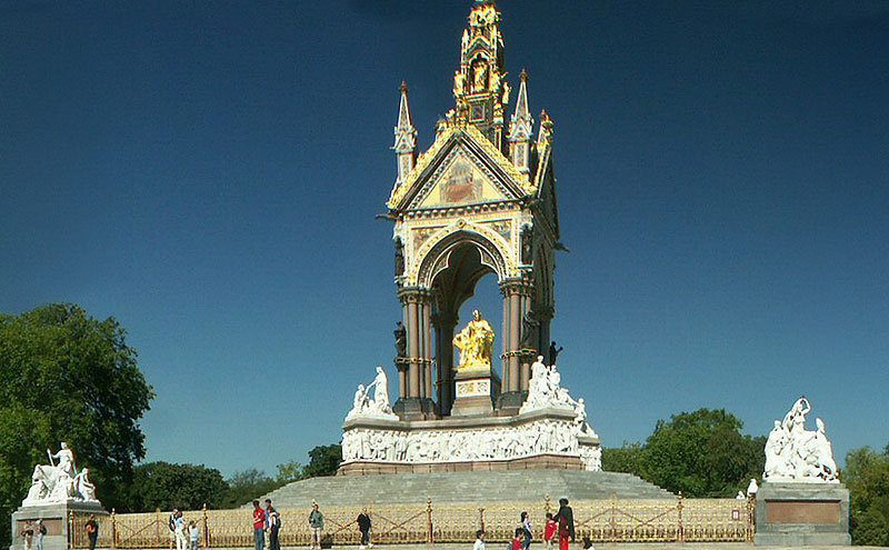
For more articles on London see the London Index or select one of the labels at the bottom.