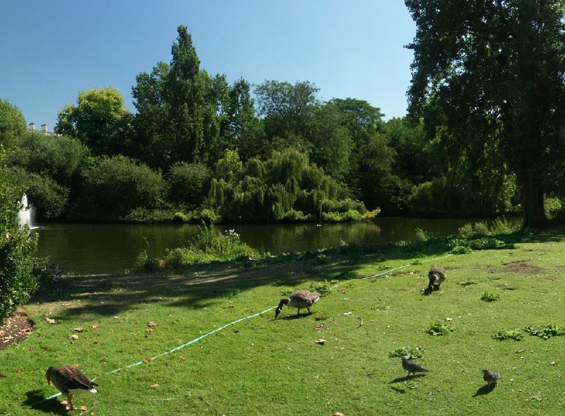
This photo of the view from St. James Park in London is part of one of the panoramic images found on the PanoramicEarth.com Tour of London. There are over 100 images taken from around
Plan your visit to
St. James Park is one of the Royal Parks in
A lake runs almost the full length down the centre. The lake is populated by a variety of fowl, including the geese you see here feeding off the grass. There are two islands in the lake (
St James Park is mostly grassland with trees, although there are some flower plantings, especially towards the east end of the park, near to Horse Guards Parade. The Mall, which runs down one edge, links
In the summer the park is generally full of people taking advantage of a space to relax and catch a bit of the sun. The eastern skyline is now dominated by the London Eye, whose pods rise above the top of
Like most of the Royal Parks, St. James Park owes it’s history to Henry VIII who brought the land for hunting. The area was marshy and often flooded by the Tyburn. Over the next 200 years various changes were made to the park, and the final shape that we have today settled into place. John Nash was one of the planners who worked on the layout of St. James Park.
The nearest tube stations include St. James Park,
The full panoramic image taken from the junction of St. James Park can be found on the London tour by PanoramicEarth.com. An enlargement of this photo can be found on Flickr. You can also find a marker for resturant in St. James Park on Tagzania.
For more articles on
No comments:
Post a Comment